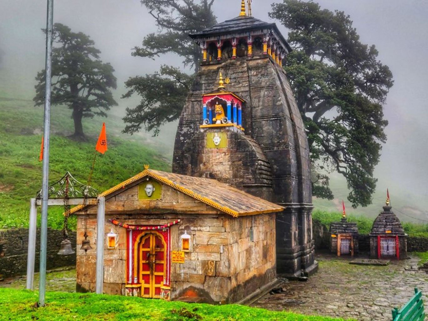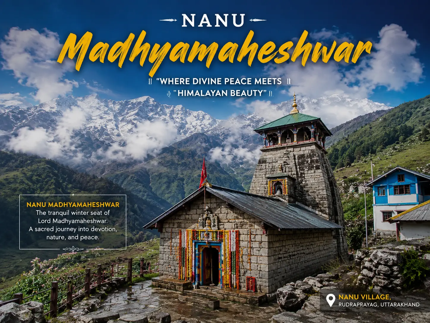
Nanu Chatti Madhyamaheshwar is one of the small but important stops on the walking route to Madhyamaheshwar Temple in Rudraprayag district, Uttarakhand. Most travelers do not come to Nanu as a separate tourist destination. They encounter it while climbing from the lower Madhyamaheshwar valley toward the sacred Panch Kedar shrine.
That distinction matters.
Nanu is not another busy Himalayan hill station, sightseeing village, or commercial trekking base. It is a tiny mountain settlement where the trail, local hospitality, forest environment, and everyday life of the Madhyamaheshwar valley meet. Older Himalayan records describe Nanu at around 2,330 meters, while a recent ecological study recorded Nanu Chatti at approximately 2,300 meters above sea level. Some commercial trekking itineraries publish higher figures, which explains why altitude information online can be inconsistent.
For pilgrims who need to divide the climb into manageable stages, Nanu can also be a useful rest or overnight point before continuing toward Madhyamaheshwar.
Nanu Chatti at a Glance
Travel Detail | Information |
|---|---|
Location | Madhyamaheshwar Valley, Rudraprayag district, Uttarakhand |
Common name | Nanu / Nanu Chatti |
Approx. altitude | Around 2,300–2,330 m |
Access | On foot via the Madhyamaheshwar trekking trail |
Main trek base | Ransi Village |
Route position | After Bantoli and Khatara/Khadara |
Approx. distance to Madhyamaheshwar | About 5 km by older route records |
Accommodation | Limited basic homestay/trail accommodation |
Food | Simple local meals and seasonal tea-stall food |
Mobile network | Unreliable; never depend on continuous coverage |
Best practical seasons | Pre-monsoon and post-monsoon trekking periods |
Historical Himalayan Club route records place Nanu about 5 km before Madhyamaheshwar, while modern trekking descriptions also position it between Khatara and the final ascent to the temple. Distances should always be treated as approximate because trailheads, GPS measurements, and route definitions differ between sources.
Where Is Nanu Chatti?
Nanu Chatti lies on the traditional trekking corridor connecting Ransi, Gaundar, Bantoli, Khatara/Khadara and Madhyamaheshwar. It sits above the lower river valley and becomes particularly relevant once travelers have crossed Bantoli and started the more sustained uphill section.
The commonly followed sequence is:
Ransi → Gaundar → Bantoli → Khatara/Khadara → Nanu Chatti → Maikhamba/Kun Chatti → Madhyamaheshwar
Current route guides identify Ransi as the practical motor-road end and trekking base. Uttarakhand Tourism's official Madhyamaheshwar page still describes an older/longer approach involving Uniana and gives a 24 km trekking figure, while current local route descriptions commonly calculate roughly 16–18 km from Ransi. This difference is one reason travelers find conflicting Madhyamaheshwar distance figures online.
Why Is Nanu Important on the Madhyamaheshwar Trek?
Nanu's importance is practical rather than monumental.
After the easier lower sections around Gaundar and Bantoli, the character of the trek changes. The climb becomes more persistent, and many travelers begin feeling the accumulated effect of elevation gain and hours of walking. Current descriptions of the route place Nanu within this steeper middle-to-upper section.
For a fit trekker traveling light, Nanu may simply be a tea and rest stop. For a slower pilgrim, family group, photographer, or traveler who does not want to force a long trekking day, it can become a sensible halt.
This is why Nanu deserves its own guide even though it is small.
It answers a question that a general Madhyamaheshwar Trek article cannot cover deeply: Should you stop, eat, rest, or stay at Nanu before attempting the final climb?
Nanu Chatti Altitude: Why Do Websites Give Different Heights?
A Himalayan Club account records Nanu at approximately 2,330 meters, while a 2024 field study examining lichen diversity across the Madhyamaheshwar valley recorded Nanu Chatti at 2,300 meters.
Some commercial trekking websites list Nanu Chatti at around 2,700 meters or more.
Nanu Chatti is situated at approximately 2,300–2,330 meters above sea level, although trekking websites and GPS-based itineraries sometimes publish different elevations.
That approach is more trustworthy than pretending the sources agree.
How to Reach Nanu Chatti
There is no normal road journey directly to Nanu Chatti. Travelers first reach the Madhyamaheshwar valley's road-accessible settlements and then continue on foot.
From Rishikesh or Haridwar, the journey generally moves toward Rudraprayag and then the Ukhimath region before continuing to Ransi Village, the usual present-day trekking base. From Ransi, travelers walk toward Gaundar, continue to Bantoli and then begin climbing through Khatara/Khadara toward Nanu.
A useful route table is:
Section | Approximate Trail Character |
|---|---|
Ransi → Gaundar | Village and forest trail with descent/ascent |
Gaundar → Bantoli | Shorter lower-valley section |
Bantoli → Khatara → Nanu | Sustained uphill forest climb |
Nanu → upper trail | Continuing ascent through forest |
Upper trail → Madhyamaheshwar | Transition toward higher open landscape |
Nanu to Madhyamaheshwar Trek
The journey does not suddenly become easy after reaching Nanu.
Historical route accounts place roughly 5 km between Nanu and Madhyamaheshwar, and modern descriptions show the route continuing through upper forest sections and intermediate chattis before reaching the temple area.
The practical rule is simple: do not judge the remaining journey only by kilometers.
Five steep Himalayan kilometers can take considerably longer than five kilometers on a level road. Walk steadily, avoid racing other groups, drink regularly, and allow enough daylight for the climb.
Trekkers continuing to Budha Madhyamaheshwar should treat that as a separate excursion after reaching and resting at the main temple rather than mentally adding it to the Nanu climbing stage. Uttarakhand Tourism places Budha Madhyamaheshwar around 2 km from the main Madhyamaheshwar site.
Accommodation and Food at Nanu Chatti
Nanu should be approached with mountain-homestay expectations, not hotel expectations.
Travel accounts describe simple accommodation and food being available at Nanu, and current accommodation listings also show basic homestay activity around Nanu Chatti.
Depending on the season, travelers may find simple meals such as dal, rice, vegetables, roti, tea, paratha, or other basic trail food. Availability can change with pilgrimage traffic, weather, supplies, and whether individual establishments are operating.
Do not arrive expecting a full restaurant menu.
If you intend to sleep at Nanu, confirm the stay locally before depending on it, especially during periods of bad weather or lower visitor movement.
For broader accommodation planning, internally link the existing Where to Stay on the Madmaheshwar Trek guide, which covers the main overnight locations on the route.
Mobile Network, Electricity and Payments
Nanu is exactly the kind of place where a traveler should prepare to be offline.
Older first-hand accounts report weak or intermittent connectivity around Nanu, including occasional network availability rather than consistent service.
Mobile connectivity around Nanu can be weak, intermittent or unavailable. Network conditions change over time, so do not depend on any single operator for continuous coverage.
Before leaving Ransi, travelers should download offline maps, save important phone numbers, carry cash, fully charge phones and power banks, and tell family members that connectivity may disappear for extended periods.
Electricity and charging should also be treated as limited resources rather than guaranteed services.
Weather and Best Time to Cross Nanu
There is no reliable dedicated public weather station for Nanu Chatti that travelers should use as their sole forecast source. Conditions should instead be assessed using the wider Rudraprayag/Madhyamaheshwar forecast together with local information.
Pre-monsoon and post-monsoon periods generally provide more practical trekking conditions. Uttarakhand Tourism identifies Madhyamaheshwar as a seasonal destination, while the monsoon months can bring heavy rainfall to Uttarakhand and create road and trail disruption.
Period | What to Expect |
|---|---|
May–June | Active pilgrimage season; generally suitable trekking window |
July–August | Heavy rain possible; slippery paths, landslide and road-delay risk |
September–October | Often preferred for clearer post-monsoon conditions |
Late season | Colder mornings/nights; verify temple and trail conditions |
Always check the IMD Meteorological Centre Dehradun forecast before departure rather than relying only on a weather app's generic mountain prediction. IMD publishes state and district weather warnings for Uttarakhand.
Nature Around Nanu Chatti
One of Nanu's most interesting characteristics is its position within an ecological transition zone.
A recent field study of the Madhyamaheshwar valley included Nanu Chatti while examining lichens across changing elevations. The research grouped sites from Gaundar through Nanu within the lower elevation zone before higher locations such as Maikhamba, Koon Chatti, Madhyamaheshwar and Budha Madhyamaheshwar.
For trekkers, this transition is visible as changing forest density, moisture, vegetation and eventually the more open landscapes closer to Madhyamaheshwar.
Nature photographers should look beyond Himalayan peaks. Forest textures, mosses, village life, mountain streams, mist, trail details and changing vegetation can tell the story of Nanu much better than another generic temple photograph.
Is Nanu a Village or Nanu Chatti?
Travel websites use both Nanu Village and Nanu Chatti.
“Chatti” is commonly used in Himalayan pilgrimage routes for a small stopping or resting place. In the sources reviewed for this guide, Nanu Chatti appears repeatedly in route descriptions, while some travel operators describe the same location as Nanu Village.
For SEO, use both terms naturally, but make Nanu Chatti the preferred geographic name.
I also would not publish a specific Nanu population figure unless you obtain it from a verifiable government record. I did not find a reliable standalone population source for Nanu Chatti during the research for this article.
Who Should Stay Overnight at Nanu?
An overnight halt makes the most sense for travelers who prefer a slow pilgrimage, beginners uncertain about their stamina, families with different walking speeds, photographers who spend more time on the trail, or trekkers who reach the area later than planned.
Strong and acclimatized trekkers may simply stop for food or tea and continue toward Madhyamaheshwar.
The decision should be based on daylight, weather, fitness and accommodation availability—not on an inflexible itinerary.
Safety and Responsible Travel
Nanu is part of a fragile Himalayan trail environment. Travelers should carry all non-biodegradable waste back, avoid playing loud music, respect local homes and religious customs, refill bottles where safe rather than continuously buying plastic, and never disturb wildlife for photographs.
During monsoon or unstable weather, check IMD warnings and local advice before proceeding.
Most importantly, do not force the final climb because a hotel booking or return ticket says you must reach Madhyamaheshwar that day. In the Himalayas, changing the plan is sometimes the safest travel decision.
Frequently Asked Questions About Nanu Chatti Madhyamaheshwar
Where is Nanu Chatti?
Nanu Chatti is a small trail settlement on the Madhyamaheshwar trekking route in Rudraprayag district, located after the Bantoli–Khatara section and before the final climb toward Madhyamaheshwar.
What is the altitude of Nanu Chatti?
Historical Himalayan records and recent field research place Nanu at approximately 2,300–2,330 meters above sea level.
How far is Nanu from Madhyamaheshwar Temple?
An established Himalayan route account records approximately 5 km from Nanu to Madhyamaheshwar, although modern GPS measurements may vary.
Can I stay at Nanu Chatti?
Basic local accommodation has been reported at Nanu Chatti, but availability should be confirmed before travel because facilities are limited and seasonal.
Is Nanu accessible by road?
No. Nanu lies on the trekking route. Present-day travelers commonly reach Ransi by road and continue toward Nanu on foot.
Is Nanu Chatti worth stopping at?
Yes, particularly if you need food, rest, shelter or a slower break before completing the steep upper section of the Madhyamaheshwar trek.
Conclusion
Nanu may be one of the smallest names on a Madhyamaheshwar route map, but it has an important practical role in the journey. It marks a point where the lower valley trek has given way to sustained mountain climbing and where a simple meal, short rest or overnight halt can make the remaining journey safer and more comfortable.
For travelers researching Nanu Chatti Madhyamaheshwar, the key is not to expect a developed tourist village. Come prepared for limited facilities, unreliable connectivity, changing mountain weather and basic local hospitality. Treat Nanu as part of the living Madhyamaheshwar trail rather than simply a waypoint to rush through.